
Killarney Provincial Park Map
Killarney Provincial Park Map
SHIPPING CALCULATED AT CHECKOUT
Impossible de charger la disponibilité du service de retrait
About Killarney
Unspoiled and wild, Killarney’s majestic beauty inspired Group of Seven artists in their art and to take conservation action. Towering over clear lakes, peatlands and oak and pine forests, the La Cloche range and its white quartzite ridges offer a unique background to awe-inspiring canoe trips and unforgettable on-and-off-trail hiking.Includes
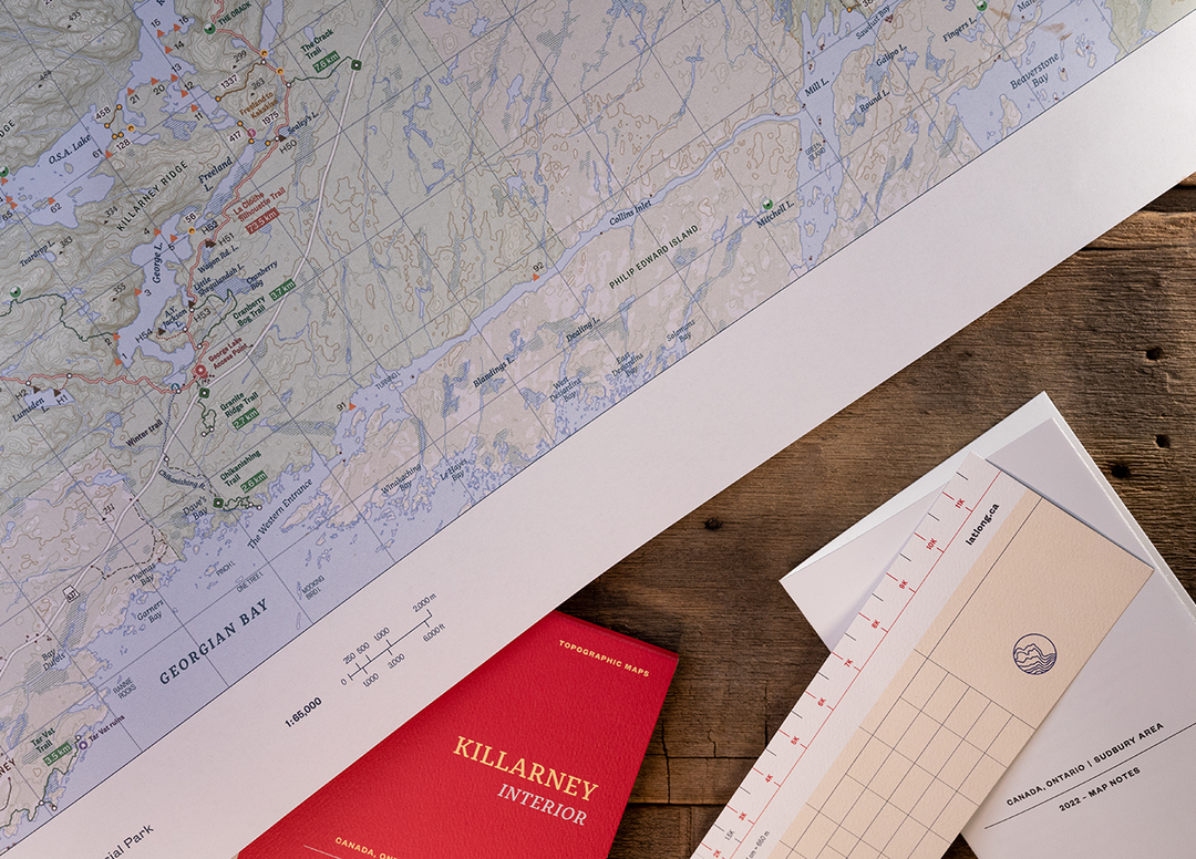
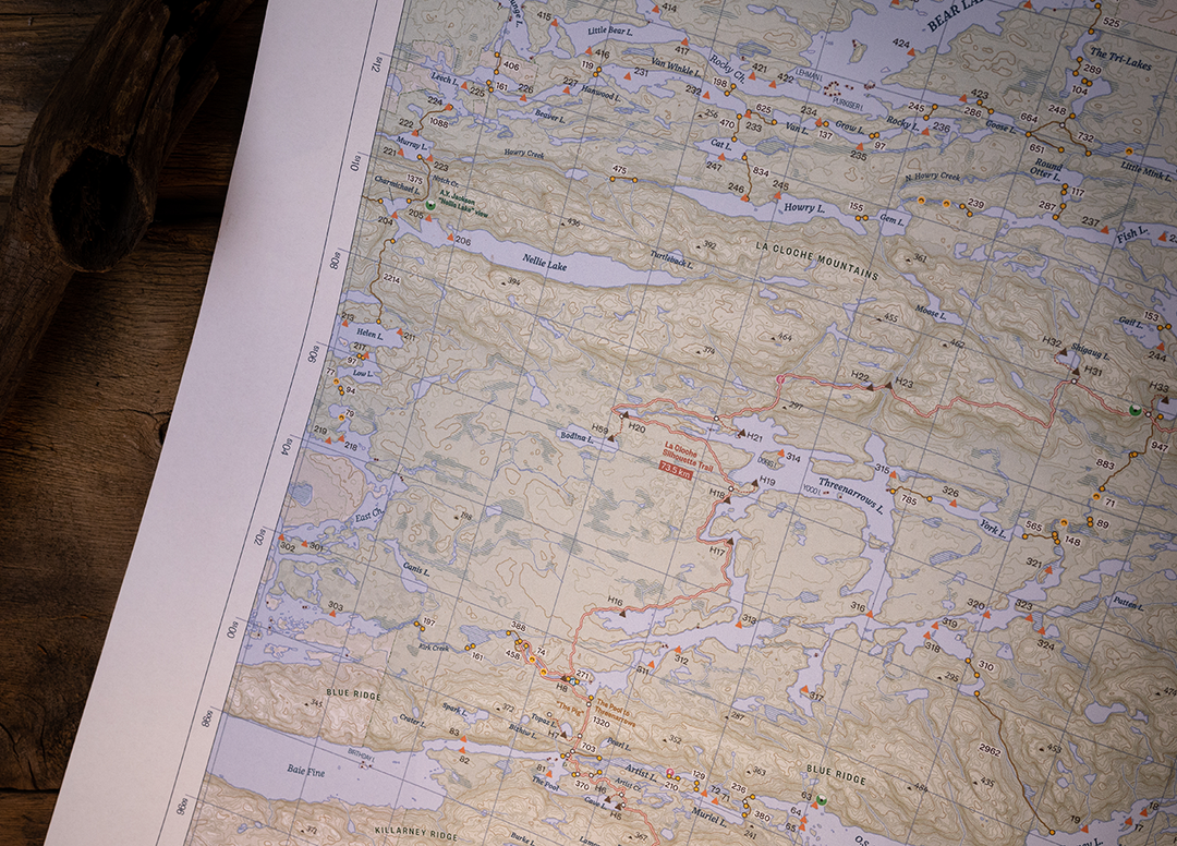
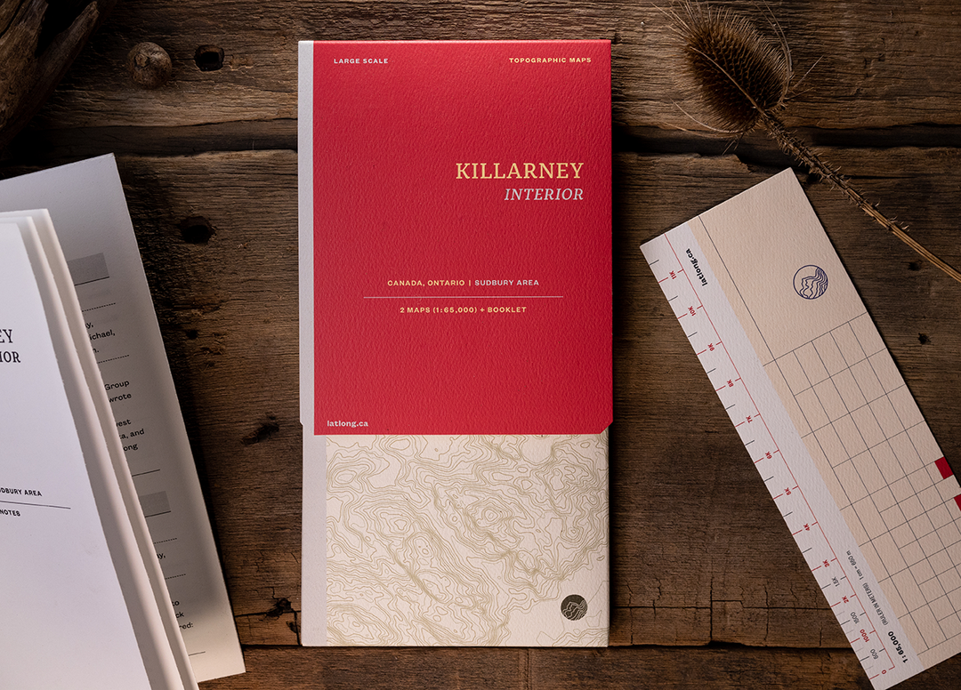
About The Map
Map 1: East, Bell-David, East Panache - Scale 1:65000. Map 2: West, Northwest Loop - Scale 1:65000. Booklet: Map notes, tidily packaged in a map folder. Features campsites, trails and portages, points of interest, contours lines, and more. Printed on very tough waterproof and tear-resistant FSC paper in Canada. Printed one side with generous margins. Can be annotated with any pen or pencil, feels like paper.
With 2022 campsites numbers & Point Grondine Park.
Included
- Map 1, printed one side, East, Bell-David, East Panache at 1:65,000
- Map 2, printed one side, West, Northwest Loop at 1:65,000
- Map notes booklet
- Ruler at scale/bookmark
- All the above inside a map folder


Our Promise
Quality Gear
All the products we sell are carefully curated from years of testing in the field. If we haven't used it, and don't trust it, we won't sell it.

Easy Shipping
Not only are all orders over $50 shipped for free across Canada, but we also offset the carbon emissions associated with every shipment.

Satisfaction Guarantee
We guarantee all the products we sell. Same goes for any advice we give you. Got an issue with your gear? Contact us and we'll get it sorted.