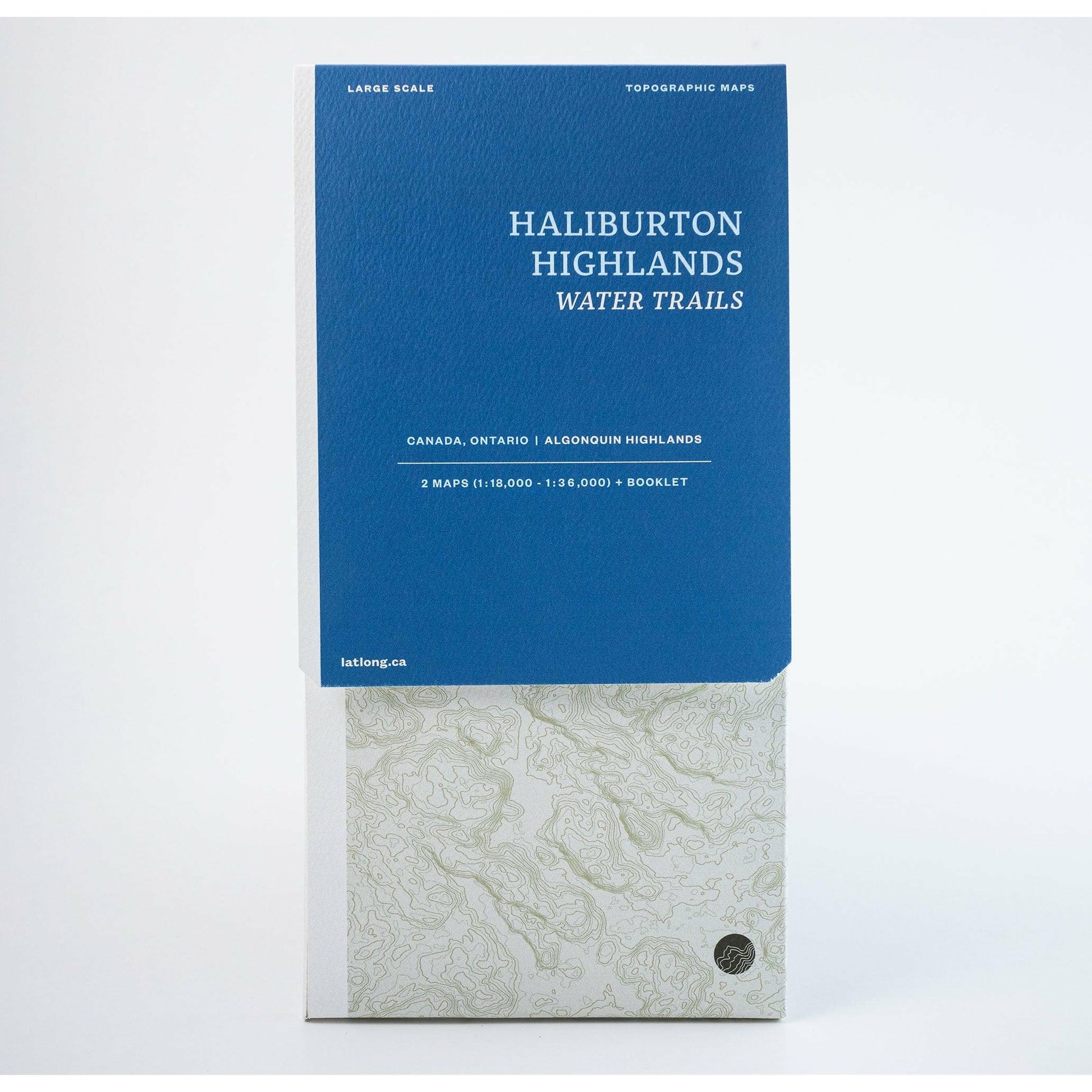
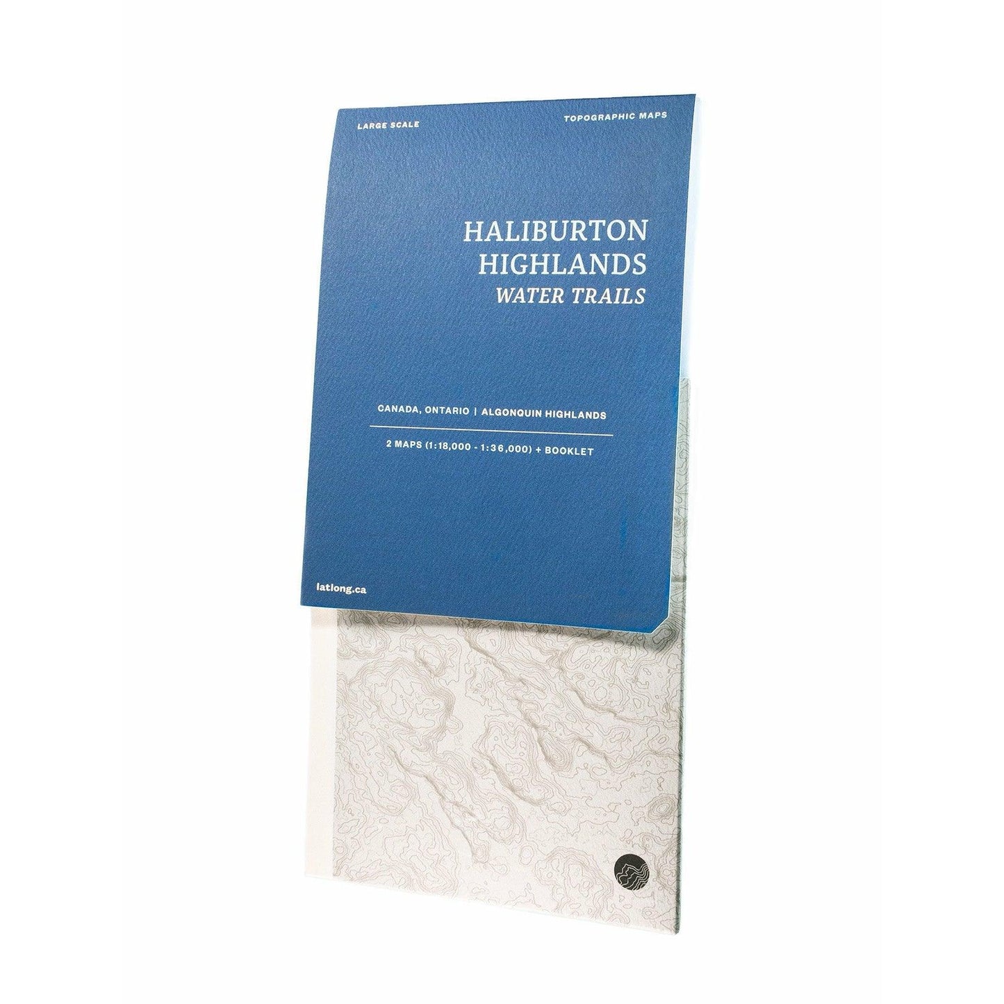
Haliburton Highlands Water Trails Map
Haliburton Highlands Water Trails Map
SHIPPING CALCULATED AT CHECKOUT
Impossible de charger la disponibilité du service de retrait
The Ultimate HHWT Map
Rugged and yet accessible, the scenic Frost Centre and Poker Lake areas are the ideal gateway to long weekend wilderness escapades. By way of canoe routes of all difficulties, varied landscapes await, from an old-growth hemlock forest and wetlands teeming with wildlife, to a rare meromictic lake.
Includes
Two maps, printed one side.
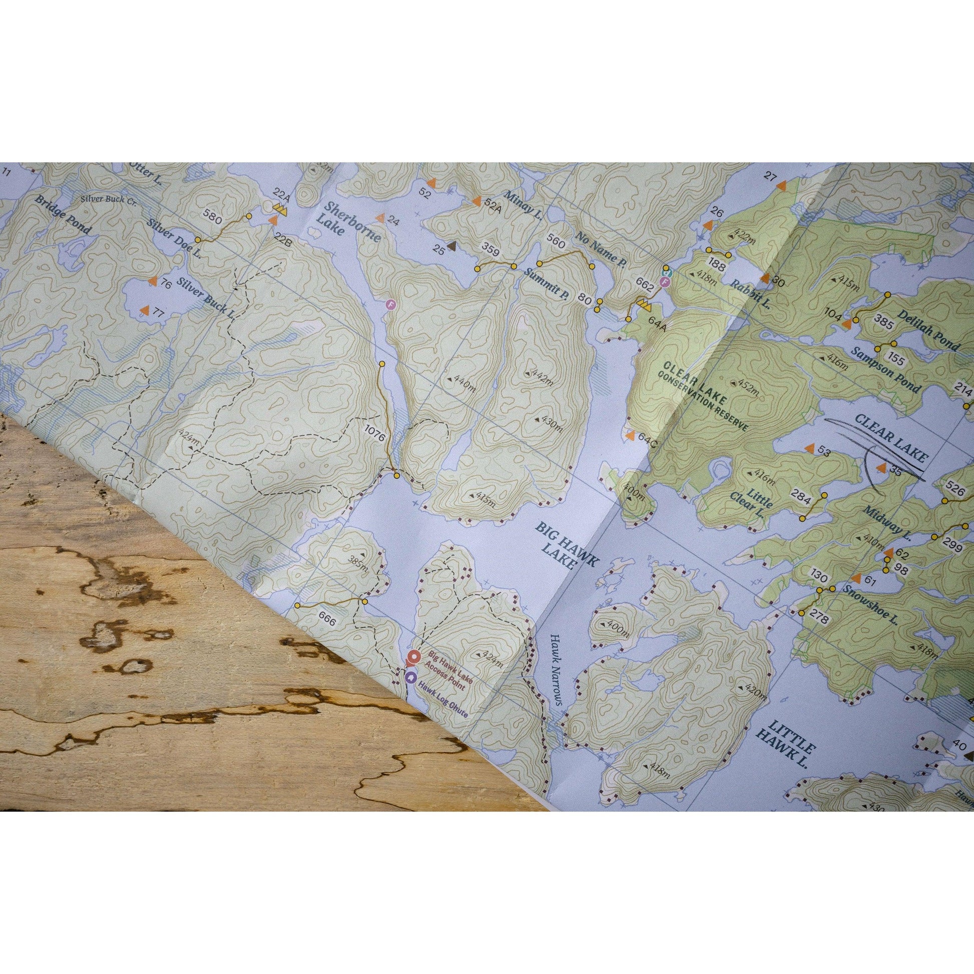
Map 1, Frost Centre Area. Scale: 1:36,000.
Map 2, Poker Lake Area. Scale: 1:18,000.
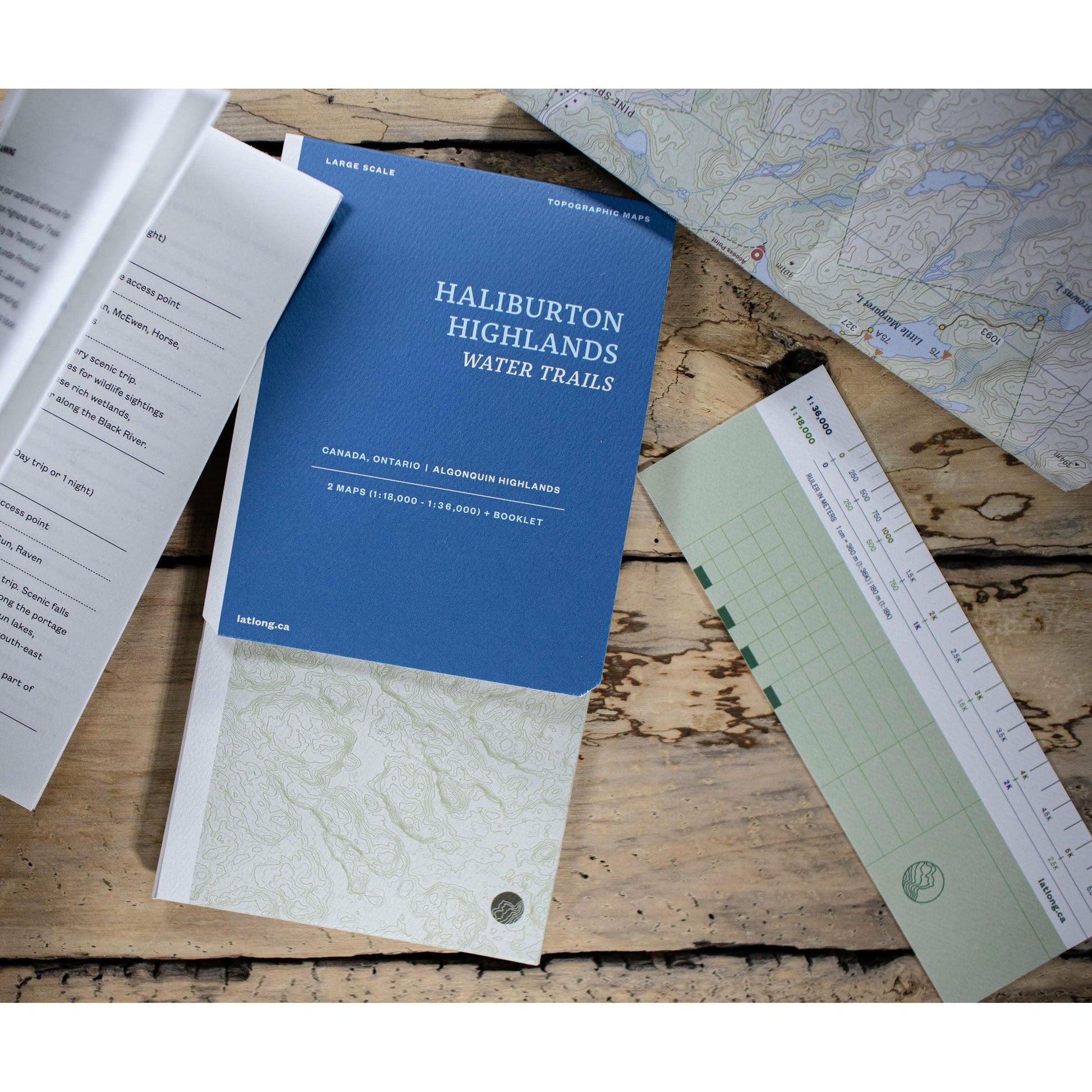
Includes separate map notes in a booklet, and a paper ruler all tidily packaged in a beautiful map folder.
Features
Campsites, navigation obstacles, trails and portages, points of interest, contours lines, and more. Printed in Canada on very tough water and tear resistant FSC paper. Can be annotated with any pen or pencil, feels like paper.



Our Promise

Quality Gear
All the products we sell are carefully curated from years of testing in the field. If we haven't used it, and don't trust it, we won't sell it.

